Terroir Atlas10 sheets
France
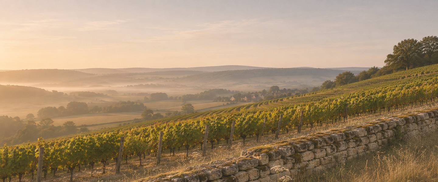
A dry-stone wall borders vineyard rows above a misty valley and a small distant village.

10 sheets so far

France

France delimits its appellations field by field. These sheets show the parcels INAO has drawn, which is why a French appellation looks like scattered pieces where an American one is a single outline.

Bordeaux

Key map of Bordeaux: 1 Margaux, 2 Pauillac, 3 Saint-Julien, 4 Saint-Estèphe, 5 Pomerol, 6 Saint-Emilion, 7 Sauternes6712435BordeauxPessacVillenave-d'OrnonSaint-Médard-en-JallesCestasParempuyreCoutrasLangonLesparre-MédocPauillacBlayeLa RéoleCastillon-la-Bataille20 km12 mi1°00′W0°30′W0°00′E44°30′N44°40′N44°50′N45°00′N45°10′N45°20′N
Pick a number, on the map or in the list. Rivers and towns © OpenStreetMap contributors.
  1. 1
    Margaux

    Four communes: Margaux-Cantenac, Soussans, Labarde and Arsac.

    18.7 km² · 16.6 °C Apr–Oct

  2. 2
    Pauillac

    Identical to its neighbours on a climate grid, which says something about climate grids.

    16.3 km² · 16.6 °C Apr–Oct

  3. 3
    Saint-Julien

    The smallest of the Médoc sheets so far, at 10.5 km².

    10.5 km² · 16.5 °C Apr–Oct

  4. 4
    Saint-Estèphe

    One commune, four blocks.

    15.5 km² · 16.7 °C Apr–Oct

  5. 5
    Pomerol

    9.6 km², with parcels in three communes besides its own.

    9.6 km² · 16.9 °C Apr–Oct

  6. 6
    Saint-Emilion

    Nine communes, and a second appellation drawn over the same ones.

    71.0 km² · 16.8 °C Apr–Oct

  7. 7
    Sauternes

    Five communes, Barsac among them.

    30.5 km² · 16.7 °C Apr–Oct

Burgundy

Key map of Burgundy: 1 Chablis, 2 Gevrey-Chambertin, 3 Pommard123DijonAuxerreAutunAvallonChâtillon-sur-SeineNuits-Saint-GeorgesMontbardTonnerreClamecyChâteau-Chinon20 km12 mi3°30′E4°00′E4°30′E5°00′E47°00′N47°15′N47°30′N47°45′N
Pick a number, on the map or in the list. Rivers and towns © OpenStreetMap contributors.
  1. 1
    Chablis

    More than two hundred separate pieces across 17 communes.

    52.8 km² · 14.6 °C Apr–Oct

  2. 2
    Gevrey-Chambertin

    Twenty-six named premiers crus, mapped parcel by parcel.

    5.4 km² · 14.9 °C Apr–Oct

  3. 3
    Pommard

    One commune, 28 named premiers crus.

    3.4 km² · 15.0 °C Apr–Oct

Going there

When each region is warm and when it is dry, read off the same figures as the sheets. The photographs show kinds of day. None of them is a place in this atlas.
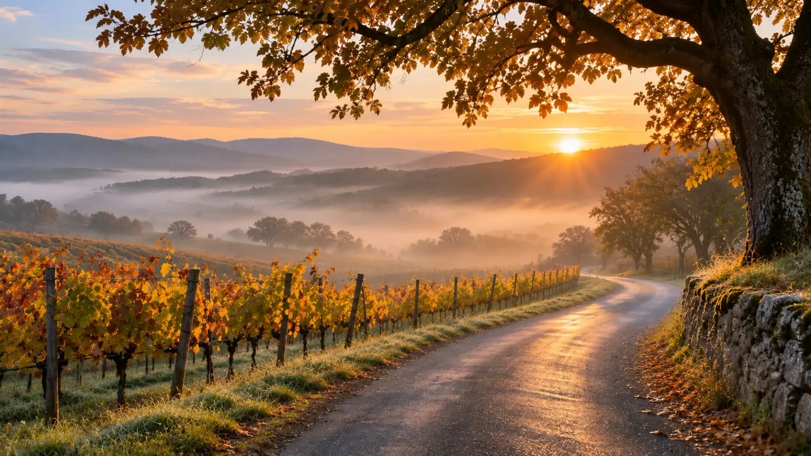
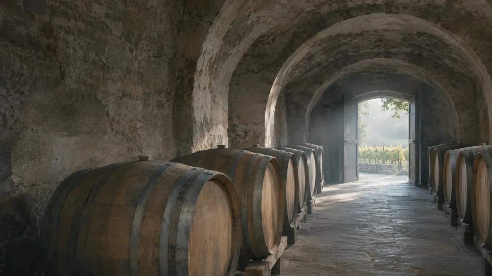
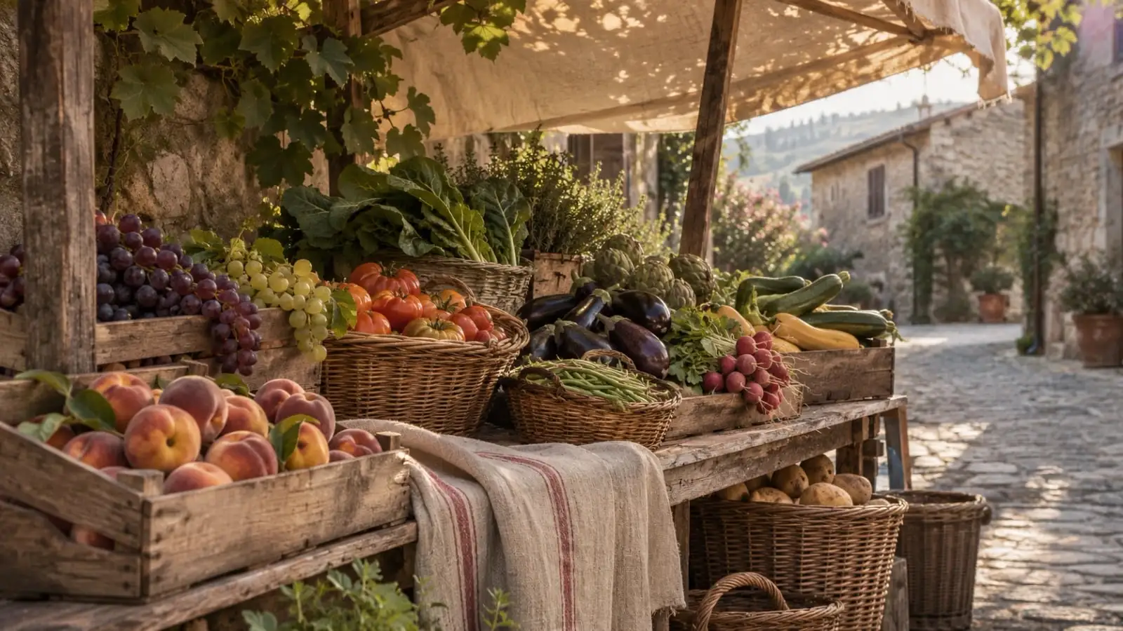
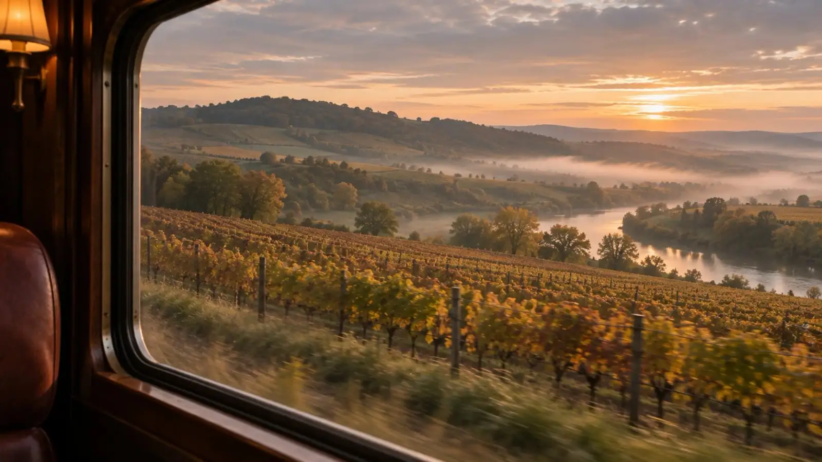
A narrow lane curves past autumn vines and a dry-stone wall at sunrise, with mist lying in the valley below.Oak barrels line both sides of a vaulted stone cellar, lit by cool daylight from an open door onto vines.A wooden market stall under a canvas awning holds crates and baskets of peaches, grapes, tomatoes and aubergines on a cobbled village street.Autumn vines and a misty river valley pass the window of a wood-panelled train carriage at sunrise, the trackside blurred by speed.
Plates V–VIII · kinds of day, not places
  1. Bordeaux

    Warmest in July, about 20 °C (69 °F). Driest in June, July, and August; wettest in November, with about 102 mm.

    Browse Bordeaux wine tours
  2. Burgundy

    Warmest in July, about 19 °C (67 °F). Driest in February, March, and April; wettest in May, with about 82 mm.

    Browse Burgundy wine tours

Bars are rain, hanging from the rule as they do on each sheet’s year, all to one scale. The underlined month is the warmest. Each row is a plain average of that region’s sheets so far, from WorldClim 2.1 monthly normals (CC BY-SA 4.0).

The “find” and “browse” links above go to shops and booking sites. If you buy something there we may be paid a commission. You pay the same either way. How we’re paid.